•
•
•
•
•
•
•

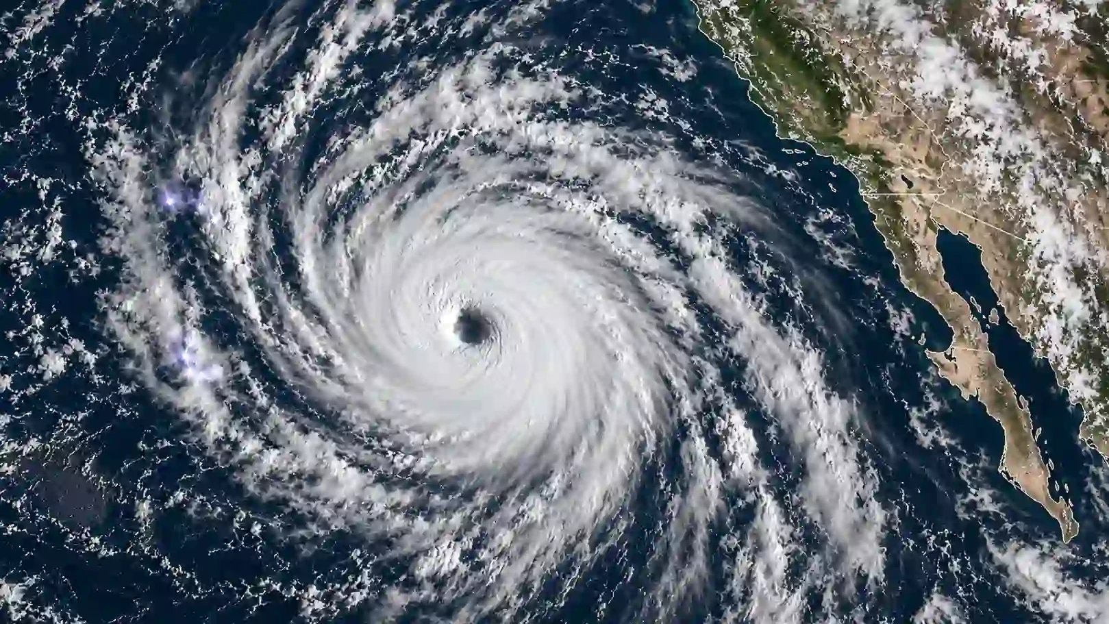
Hurricane Polo is drawing major attention after rapidly strengthening over the eastern Pacific and reaching Category 5 intensity, becoming one of the most powerful storms observed in the region in recent decades.
The National Hurricane Center said Polo had maximum sustained winds of around 155 mph in its latest Wednesday advisory, while earlier Tuesday measurements put winds as high as 165 mph. The storm was located roughly 185 miles south of Zihuatanejo, Mexico, and was moving slowly northward.
Polo's unusually rapid intensification has made it a major focus for weather authorities. The National Hurricane Center described the storm's strengthening as exceptionally rapid, while meteorologists cited by NPR said the hurricane ranks among the strongest storms seen in the Pacific basin.
Although Polo's center is forecast to remain offshore, that does not eliminate the threat to Mexico's Pacific coastline.
The National Hurricane Center reported that Polo's outer rainbands were beginning to reach the southwestern Mexican coast. Tropical-storm-force winds were also being observed near the coast.
The states of Guerrero and Michoacán are among the areas facing the greatest weather risks. Heavy rainfall could trigger flash flooding and mudslides, while powerful waves and dangerous surf could affect coastal communities.
Earlier forecasts called for several inches of rainfall across parts of Guerrero and Michoacán, with additional rainfall possible across coastal areas of Oaxaca, Colima and Jalisco.
Mexican authorities have taken precautionary measures, including suspending classes in some areas and closing ports in Guerrero and Michoacán. Officials have also urged residents, fishermen and visitors to follow local safety instructions.
Polo's intensity has placed it in a notable category of Eastern Pacific storms.
The hurricane's pressure and wind measurements have drawn comparisons with Hurricane Patricia, which became one of the most powerful tropical cyclones ever recorded in the region in 2015.
The Weather Network reported that Polo recorded a central pressure of 889 millibars, making it the second-strongest hurricane recorded in the eastern Pacific by that measure, behind Patricia. ([The Weather Network][4])
NPR, citing meteorologists, also reported that Polo's strength is comparable to only a small number of hurricanes observed in the region in recent decades.
Polo is not the only storm attracting attention.
Hurricane Odalys has also strengthened in the Pacific and was recorded with maximum sustained winds of about 75 mph on Wednesday. The storm was located far west-southwest of the southern tip of Baja California and was expected to strengthen further before eventually weakening.
Meanwhile, the Atlantic Basin remains unusually quiet. The National Hurricane Center reported that there were no tropical cyclones in the Atlantic as of Wednesday morning.
The contrast between the active Pacific and unusually quiet Atlantic has drawn additional attention to the role of El Niño in this year's hurricane season. Scientists have said the climate pattern is contributing to conditions favorable for stronger Pacific storms while suppressing tropical development in the Atlantic.
Forecast models indicate that Hurricane Polo is expected to turn northwestward and move generally parallel to Mexico's southwestern coast rather than making a direct landfall.
However, authorities continue to warn that landfall is not required for a hurricane to cause dangerous conditions. Heavy rainfall, storm-driven waves, rip currents, flooding and mudslides can affect coastal communities even when the storm's center remains offshore.
Residents and travelers in potentially affected areas are being urged to monitor official forecasts and follow instructions from Mexican authorities as Polo moves along the coast.