•
•
•
•
•
•
•

Advances in underwater mapping and exploration technology are revealing new details about the largely uncharted deep ocean
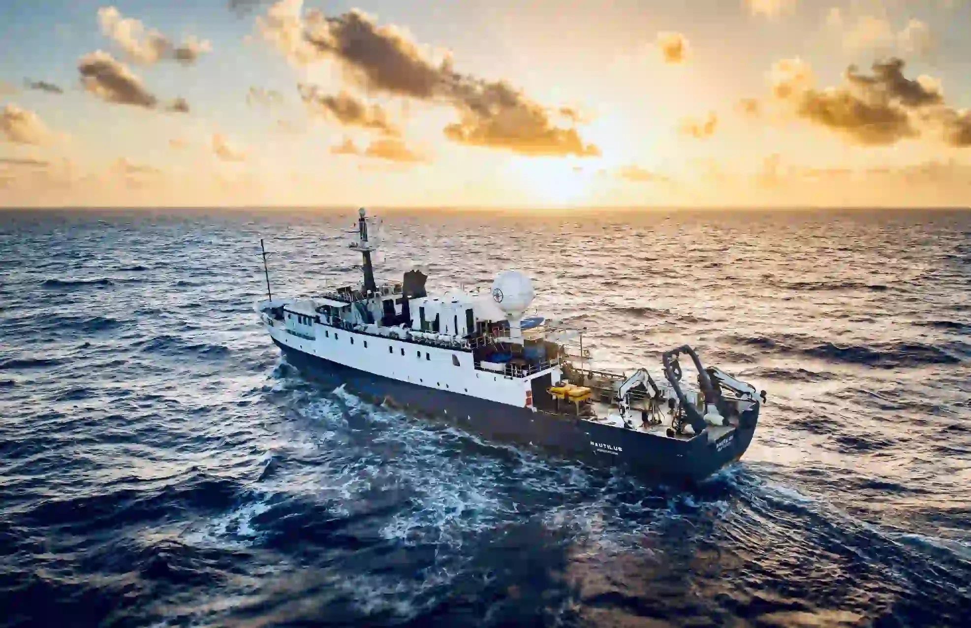
Despite covering more than two-thirds of the planet's surface, the ocean floor has historically been far less thoroughly mapped than the surface of the Moon or Mars, largely because water blocks the kind of direct optical and radar imaging used to map land and other planetary surfaces. Mapping the seafloor in detail requires different technology, primarily sonar, which uses sound waves to measure depth and terrain, along with physical sampling and direct observation from submersibles and remotely operated vehicles.
Contemporary ocean mapping combines several technologies. Ships equipped with multibeam sonar systems can map wide swaths of the seafloor as they travel, building up detailed bathymetric, or depth, maps over time. Autonomous underwater vehicles can operate independently for extended periods, reaching areas too remote or logistically difficult for a crewed ship to survey efficiently. Crewed and uncrewed submersibles allow for direct visual observation and sample collection at extreme depths, supporting biological and geological research that sonar mapping alone cannot provide.
Deep-sea exploration has continued to reveal previously undocumented seafloor features, including underwater mountain ranges, volcanic vents supporting unique chemical-based ecosystems, and species new to science that have adapted to the extreme pressure, cold, and darkness of the deep ocean. These hydrothermal vent ecosystems, in particular, have reshaped scientific understanding of what conditions life can survive in, since they support communities that derive energy from chemical processes rather than sunlight.
Detailed seafloor mapping supports multiple practical and scientific goals: it improves understanding of ocean currents and climate processes, supports fisheries and marine conservation planning, aids in identifying tsunami and underwater hazard risks, and provides baseline data increasingly relevant to discussions about deep-sea mineral resources and environmental protection. International scientific initiatives have set goals for completing detailed global seafloor mapping, reflecting the value placed on closing this significant knowledge gap.
| Technology | Primary Use |
|---|---|
| Multibeam sonar | Wide-area seafloor depth mapping from ships |
| Autonomous underwater vehicles | Extended, remote-area surveying |
| Submersibles and ROVs | Direct visual observation and sample collection |
Expect continued international collaboration aimed at completing more comprehensive global seafloor mapping, alongside growing scientific and policy attention to deep-sea ecosystems as interest in deep-sea mineral resources raises new questions about environmental protection in largely unexplored areas. Advances in autonomous vehicle technology are likely to continue expanding how much of the ocean floor can be surveyed cost-effectively.
Why is the ocean floor harder to map than land or other planets?
Water blocks the optical and radar-based imaging techniques used for mapping land and other planetary surfaces, requiring sonar and direct physical exploration methods instead, which are slower and more resource-intensive.
What have hydrothermal vent ecosystems taught scientists?
They demonstrated that life can thrive without sunlight, using chemical processes for energy instead, significantly expanding scientific understanding of the conditions under which life can exist.
Is the entire ocean floor unmapped?
No, but large portions remain mapped only at low resolution. International initiatives have set goals to complete more detailed global mapping over time.
Why does ocean mapping matter for climate science?
Seafloor topography influences ocean currents, which play a significant role in global climate systems, making detailed mapping data valuable for climate research and modeling.
Deep-sea mapping continues to close one of the largest remaining knowledge gaps about our own planet, revealing ecosystems and geological features that reshape scientific understanding of life's adaptability. As technology continues to improve, the ocean floor is likely to remain one of the most active frontiers in earth science research for years to come.